
Using Online Maps and GPS for Easy Navigation
Digital mapping tools have transformed how we interact with the world. Whether planning a road trip or optimizing delivery routes, these platforms turn complex locations into visual stories. With real-time updates and interactive layers, you can explore cities or track traffic patterns effortlessly.
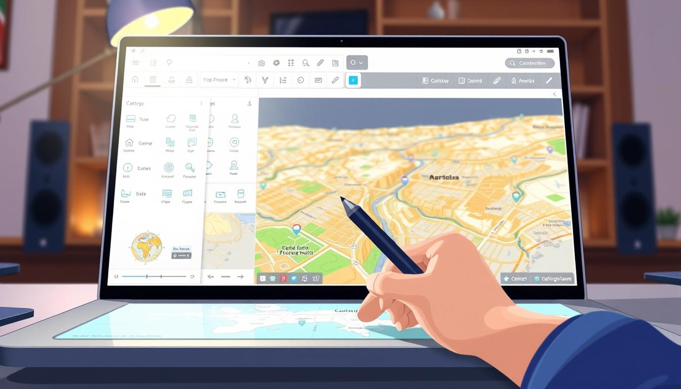
Services like Google My Maps let you build personalized guides. Sign into your account, click “Create a new map,” and import spreadsheets with up to 2,000 rows. Choose columns containing addresses or coordinates—the system plots data instantly. Customize markers and titles to highlight key points of interest.
GPS integration ensures accuracy for turn-by-turn directions. This blend of satellite technology and crowd-sourced information helps avoid detours. From daily commutes to cross-country adventures, modern tools adapt to your needs while saving time and reducing stress.
Key Takeaways
- Digital mapping simplifies travel planning with real-time updates.
- Customizable platforms let you import and visualize large datasets.
- GPS technology delivers precise navigation for drivers and pedestrians.
- Interactive features enhance both personal trips and business logistics.
- Choosing the right tool depends on your specific goals and skill level.
Understanding Online Maps for Efficient Navigation
Efficient travel starts with understanding the engines powering digital maps. These platforms merge satellite imagery, street-level photography, and live traffic info to create dynamic guides. By processing geographic data, they pinpoint your location and suggest optimal routes—whether you’re exploring cities or hiking remote trails.
Services like Google Maps offer multiple viewing modes. Switch between terrain layouts, aerial perspectives, or street-level views to grasp your surroundings. The map viewer lets you hide layers, search for addresses, or share routes without editing privileges. If you create a custom map, click “Preview” to see how others will access it.
Real-time updates are game-changers. Traffic sensors and user reports feed live alerts about accidents or road closures. This data helps platforms reroute you instantly, saving fuel and time. Accuracy depends on GPS signals and frequent updates—urban areas often have better precision than rural zones.
Not all mapping tools work equally worldwide. Some excel in public transit details, while others prioritize off-road trails. Test different services to find which aligns with your needs. With practice, you’ll navigate confidently, knowing exactly how these smart tools simplify every journey.
Exploring Popular Mapping Tools and Features
Modern navigation apps have become essential companions for travelers and commuters alike. With diverse platforms offering unique strengths, selecting the right tool depends on your priorities—whether speed, community insights, or privacy. Let’s dive into today’s top options and their standout capabilities.
Navigating with Google Maps and Other Platforms
Google Maps leads with real-time traffic alerts and detailed business listings. Its integration with local places helps you find gas stations, restaurants, or hotels instantly. For Android users, downloading the app from Google Play unlocks features like lane guidance and offline access through profile settings.
Alternatives like Waze thrive on crowd-sourced incident reports, while Apple Maps prioritizes user privacy. MapQuest remains a solid choice for turn-by-turn directions without requiring an account. Test multiple apps to see which aligns with your travel style.
Utilizing Mobile Mapping Features
Smartphones transform mapping apps into pocket-sized guides. Voice commands let you request directions hands-free—perfect for busy drivers. Enable battery-saving modes to extend your device’s life during long trips.
Offline functionality shines in areas with spotty signals. Save maps of cities like San Francisco directly to your phone or SD card (Android 6.0+). Adjust data usage settings to balance detail with mobile plan limits. These tweaks make maps mobile experiences smoother and more reliable.
how to use online maps
Personalized navigation begins with building maps that reflect your unique needs. Whether planning a multi-stop road trip or managing delivery routes, custom tools let you visualize complex journeys. Start by signing into your Google account and selecting “Create a new map” in Google My Maps.
Step-by-Step Guide to Creating Customized Maps
Click the “Untitled map” text to assign a clear name and description. Use the menu’s import feature to upload spreadsheets or connect Google Sheets—supported formats include CSV and XLSX. Match columns containing addresses or coordinates so the platform plots your data accurately.
Add multiple layers through the “Add layer” button for organizing locations by type or priority. Customize markers with colors, icons, and titles to distinguish between stops. This structure helps you manage large datasets without clutter.
Integrating GPS and Real-Time Directions
Your custom map syncs with mobile devices for turn-by-turn directions. Enable location sharing to see real-time position updates alongside your marked points. The system automatically adjusts routes based on traffic patterns, offering alternate paths during congestion.
Set default viewing preferences under settings to control zoom levels and visible layers. A helpful tip: save maps offline before trips to ensure access in low-signal areas. These features transform static plans into dynamic guides that adapt to changing conditions.
Leveraging Offline Maps for Seamless Travel
Stay connected to navigation even when your internet isn’t. Offline maps let you access critical data in remote areas or during network outages. This feature transforms your device into a reliable guide, no signal required.
Downloading and Saving Maps for Offline Use
In Google Maps, search for your destination. Tap the location name at the bottom, then choose “Download offline map.” Adjust the visible map area before saving—expanding or shrinking the selection box optimizes storage. Android users can store files on internal memory or SD cards (version 6.0+).
Customize downloads through your profile’s “Offline maps” section. The “Select your own map” option gives precise control over coverage zones. Prioritize regions along your route to conserve space while maintaining essential details.
Managing Storage and Automatic Updates
Offline maps expire after 15 days but auto-update when Wi-Fi connects. Check expiration dates under settings to avoid outdated data. Delete unused files manually if storage fills up—this keeps your device running smoothly.
Balance detail level with capacity. High-resolution views consume more space but offer clearer landmarks. For extended trips, split large areas into multiple downloads. This strategy ensures navigation reliability without overwhelming your phone’s memory.
Customizing Your Map Experience
Your digital maps become infinitely more powerful when tailored to your preferences. With the right edits, you can transform generic layouts into intuitive visual guides that match your unique needs.
Editing Data, Labels, and Map Points
Click the pencil icon in any info window to adjust data fields like addresses or contact details. For bulk changes, open the layer menu (three dots) and select “Open data table.” This spreadsheet-style view lets you rename columns, delete outdated entries, or add new rows—all changes sync instantly with map markers.
Custom labels turn chaotic clusters into organized waypoints. Assign distinct colors to mark restaurants, hotels, or meeting spots. Use descriptive names like “10 AM Delivery Stop” instead of generic titles. These tweaks make scanning routes faster during time-sensitive tasks.
Maintain accuracy by double-checking location columns after edits. If you modify a street address, the system recalculates its position automatically. Add rich description text in info windows to store parking tips or special instructions—perfect for sharing maps with collaborators.
Sync your customizations across devices through cloud saving. Changes made on desktop reflect instantly in mobile apps, keeping your navigation tools consistent everywhere. With practice, you’ll craft maps that feel like natural extensions of your thought process.
Utilizing Map Layers and Base Map Styles
Visual clarity transforms ordinary maps into powerful decision-making tools. By adjusting backgrounds and stacking information layers, you create guides that communicate exactly what your audience needs. This approach balances aesthetics with functionality, making complex data feel approachable.
Changing Base Map Styles for Better Visibility
Find the base map layer in your platform’s menu. Click the caret icon to browse styles like satellite, terrain, or minimalist designs. The Light Landmass option reduces visual noise, letting your custom markers stand out during presentations.
Darker base styles work well for highlighting routes in urban areas. Experiment with color contrasts to improve readability in sunlight or low-light conditions. These tweaks ensure your key points remain visible without overwhelming viewers.
Working with Multiple Data Layers
Click “Add layer” to organize different datasets separately. Import spreadsheet files for each category—restaurants, parks, or delivery zones. Each layer appears in the menu, letting you toggle visibility with one click.
Combine traffic patterns with store locations to analyze prime business hours. Use transparent overlays for simultaneous data comparison. Strategic layer organization prevents clutter while maintaining quick access to all details.
Save time by duplicating existing layers when creating similar maps. Adjust individual style settings per layer to maintain visual consistency across projects. This method streamlines workflow while keeping your base map adaptable for various scenarios.
Sharing and Collaborating on Your Maps
Teamwork makes maps more valuable. Whether coordinating events or managing field teams, shared access turns static guides into living resources. Control who sees your work while maintaining flexibility for updates.
Adjusting Sharing Settings and Permissions
Click the Share button in your map’s menu to manage visibility. Choose between three access levels: private (specific emails), link-based, or fully public. For sensitive data, limit editing rights to trusted collaborators.
Add team members by entering their addresses under “Add people.” Select “Can edit” or “Can view” based on their role. Google Groups integration simplifies access for large teams—new members automatically receive permissions.
Embedding Maps on Your Website or Blog
Public maps become interactive website features. After setting your map to “Public on the web,” click the three-dot menu. Choose “Embed on my site” to copy the HTML code. Paste it into your site’s backend for instant integration.
Customize embedded dimensions to match your layout. Adjust default zoom levels so visitors view maps exactly as intended. This approach maintains access control while expanding your map’s reach beyond email collaborations.
Advanced Tips for Interactive Map Navigation
Elevate your navigation strategy with techniques that streamline complex journeys. Master multi-stop route planning by dragging pins in Google Maps to rearrange destinations instantly. Combine voice commands with gesture controls—swipe left to skip steps or pinch to toggle between terrain view and satellite modes.
Incorporating User Feedback and Community Suggestions
Offline maps have limits: no live traffic updates or walking directions. But downloaded areas still show roads clearly. Use the viewer to search saved locations and toggle layers—ideal for road trips through spotty signal zones.
Invite collaborators to add notes about road closures or scenic detours. These tips transform static guides into living documents. Sync crowd-sourced insights across devices for real-time adjustments mid-route.
Remember: double-tap zoom and voice search shortcuts help maintain focus while driving. With practice, these advanced tips turn every trip into a smoothly orchestrated adventure.